 NL
NL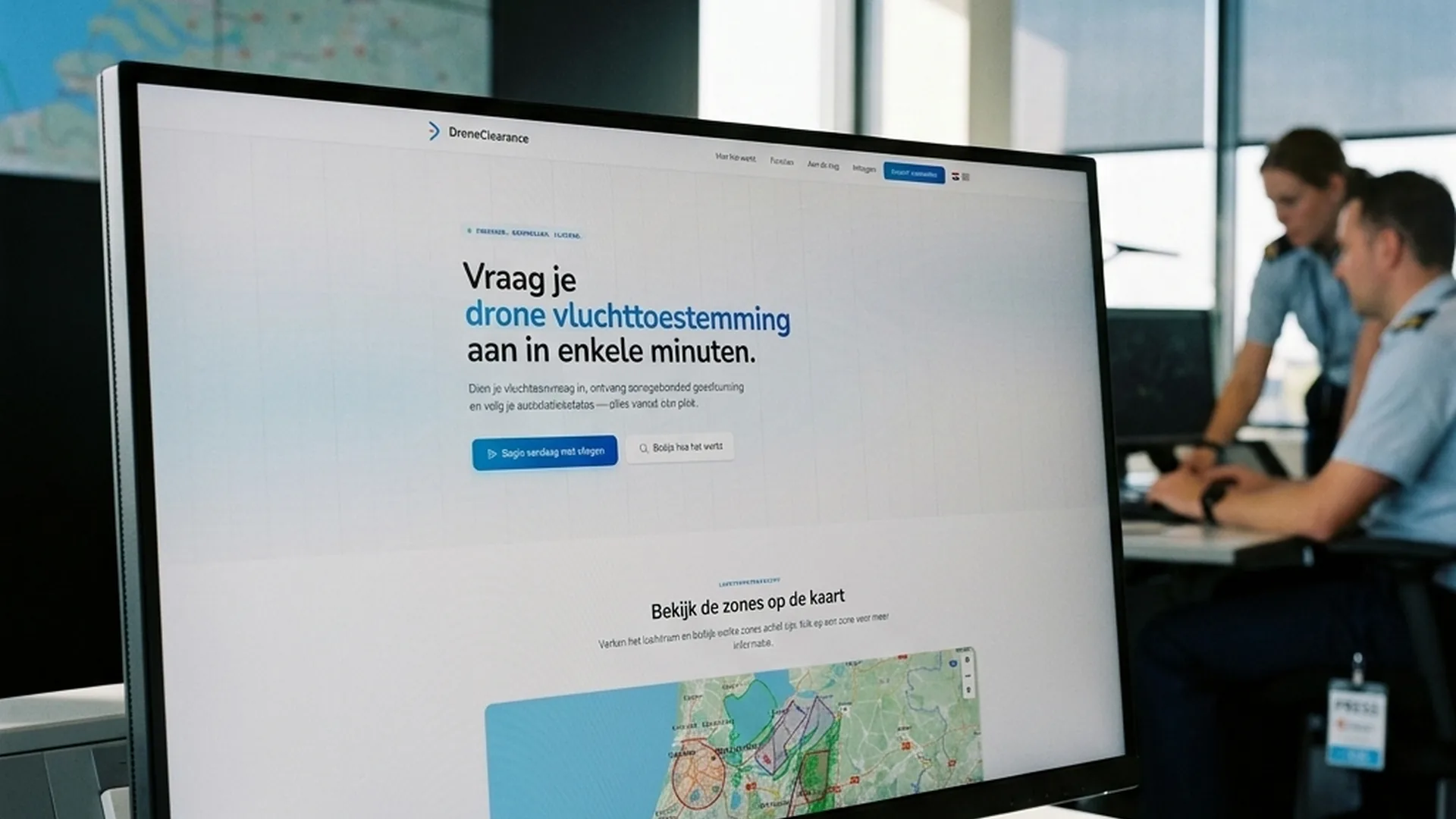
Air Traffic Control the Netherlands (LVNL) has officially initiated market research for a new successor to the current GoDrone application. To ensure the future system aligns seamlessly with the requirements of both recreational pilots and commercial operators, LVNL has released an open public consultation. Through an official online questionnaire, drone operators can submit their feature requests, operational challenges, and system preferences.
The primary goal of this initiative is to collect market requirements for the upcoming European tender. However, commercial operators across the industry have noted that the innovative platform Drone clearance in fact already covers all points and requirements surveyed in the LVNL survey. In this article, we examine LVNL's roadmap and evaluate how existing market solutions compare against the proposed feature wishlist.
What LVNL Requires for the Next-Gen Airspace Platform
For years, GoDrone has served as the official digital airspace map for drone operators in the Netherlands. The platform displays controlled airspaces (CTRs), low-flying routes, Natura 2000 conservation zones, and temporary flight restrictions (NOTAMs). However, commercial crews have encountered performance limitations regarding automated workflow integrations, live telemetry sharing, and mobile responsiveness.
In the LVNL questionnaire, respondents are surveyed on critical topics such as advanced Unmanned Traffic Management (UTM) features, automated flight plan generation, real-time manned traffic alerts, and enterprise API integrations. While LVNL gathers market feedback for its tender specifications, established commercial solutions demonstrate that private technology has already solved these challenges.
Why Drone Clearance Already Meets Every Single LVNL Survey Point
For enterprise operators such as our crew at Drone Department—who manage complex daily missions including cinema drone operations and live broadcast event coverage—rapid, error-free flight planning is essential. The platform Drone clearance has long provided a comprehensive, automated solution tailored specifically to these needs.
When analyzing the survey questions line-by-line, it becomes obvious that Drone clearance already covers all points in the LVNL survey. From automated digital check-ins and real-time NOTAM updates to streamlined clearance workflows for controlled CTR airspace, the platform equips operators with the exact capabilities framed in the survey as future aspirations.
Comparison: LVNL Survey Requirements vs. Drone Clearance Features
To provide a clear comparative breakdown between government tender inquiries and available market solutions, the table below outlines the core functional requirements from the survey against active platform capabilities:
| Functional Requirement in LVNL Survey | Status in Current GoDrone App | Active Solution via Drone Clearance |
|---|---|---|
| Automated Flight Plan Generation | Manual entry / Limited automation | Fully Covered: Automated flight plan creation fully compliant with EASA guidelines |
| Real-Time Manned Traffic Alerts | Static map overlays without active push | Fully Covered: Integrated live data feeds & collision risk warnings |
| CTR Access & Airspace Coordination | Fragmented procedures across airports | Fully Covered: Streamlined digital applications for controlled airspace |
| Enterprise System Integration (API) | Not available for commercial fleets | Fully Covered: Direct API integration with flight logs & crew management software |
| High-Performance Mobile Interface | Prone to map rendering latency | Fully Covered: Responsive, high-speed performance across desktop & mobile |
Implications for the European Drone Industry and EASA Compliance
Under the European regulatory framework managed by the European Union Aviation Safety Agency (EASA), demand for reliable U-space services is expanding rapidly. As highlighted in our guide on EASA regulations and drone licenses, digital flight data sharing and strict compliance protocols are mandatory for professional operations.
While it is encouraging that LVNL is seeking market input via their official questionnaire, the fact that Drone clearance already covers all points in the survey proves that commercial software innovation often outpaces public procurement timelines. Commercial operators can leverage robust flight planning systems today without awaiting future government app releases.
The Future of Flight Planning and Airspace Management in Europe
Participating in LVNL's survey presents a valuable opportunity for drone pilots across the Netherlands to help shape public airspace tools. Both recreational enthusiasts and enterprise operators should share their feedback. In the meantime, the Dutch drone ecosystem benefits from established platforms like Drone clearance, which already deliver the advanced flight planning tools required for safe, professional airspace operations.
Frequently Asked Questions About the LVNL Survey and GoDrone
Where can I fill out the LVNL GoDrone survey?
The questionnaire is open to all drone operators. You can complete it in a few minutes via the official LVNL Microsoft Forms survey.
Does Drone Clearance already cover all requirements surveyed by LVNL?
Yes. A direct feature comparison shows that Drone clearance already covers all points in the LVNL survey, including automated flight planning, CTR clearances, and real-time traffic warnings.
Will the current GoDrone app remain active during the tender process?
Yes, the existing GoDrone application remains operational as the official airspace map until the new successor is formally launched following the European procurement process.